
Vote for me for America’s Favorite Teacher!
 Continue reading "Vote for me for America’s Favorite Teacher!"
Continue reading "Vote for me for America’s Favorite Teacher!"
Continue reading "Vote for me for America’s Favorite Teacher!"
 Continue reading "Travel with Me to Egypt!!!"
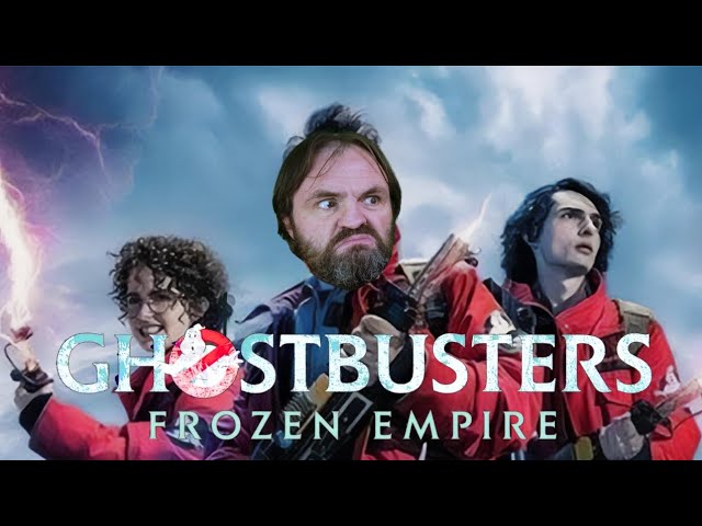 Continue reading "Ghostbusters: Frozen Empire"
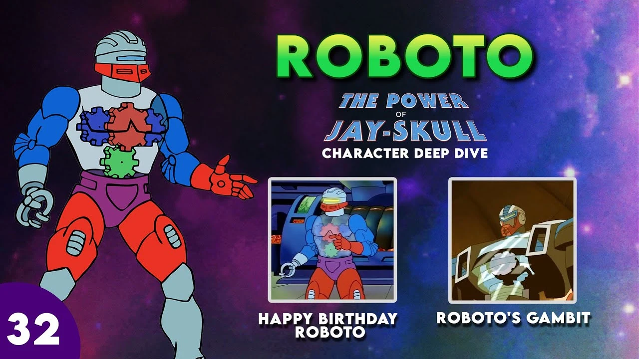 Continue reading "The Power of Jay-Skull – Roboto"
 Continue reading "The VHS Vault – The Evil Dead"
 Continue reading "Chilling Tales: The Demon of Goat Man Bridge"
 Continue reading "The Power of Jayskull: Deep Character Dive – Spikor & Stinkor"
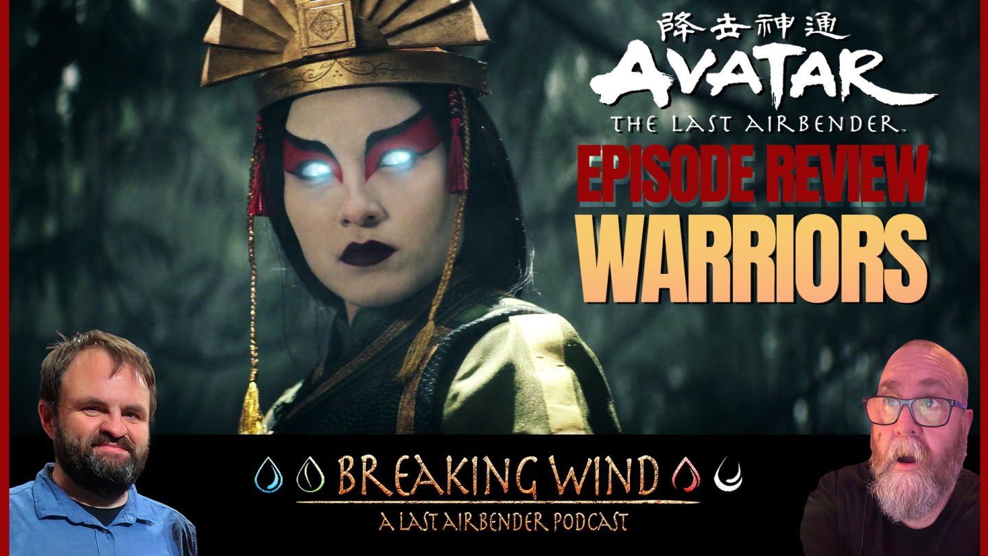 Continue reading "Breaking Wind: An Avatar: The Last Airbender Podcast – “Warriors”"
 Continue reading "Jason Watches Kung Fu Panda 4"
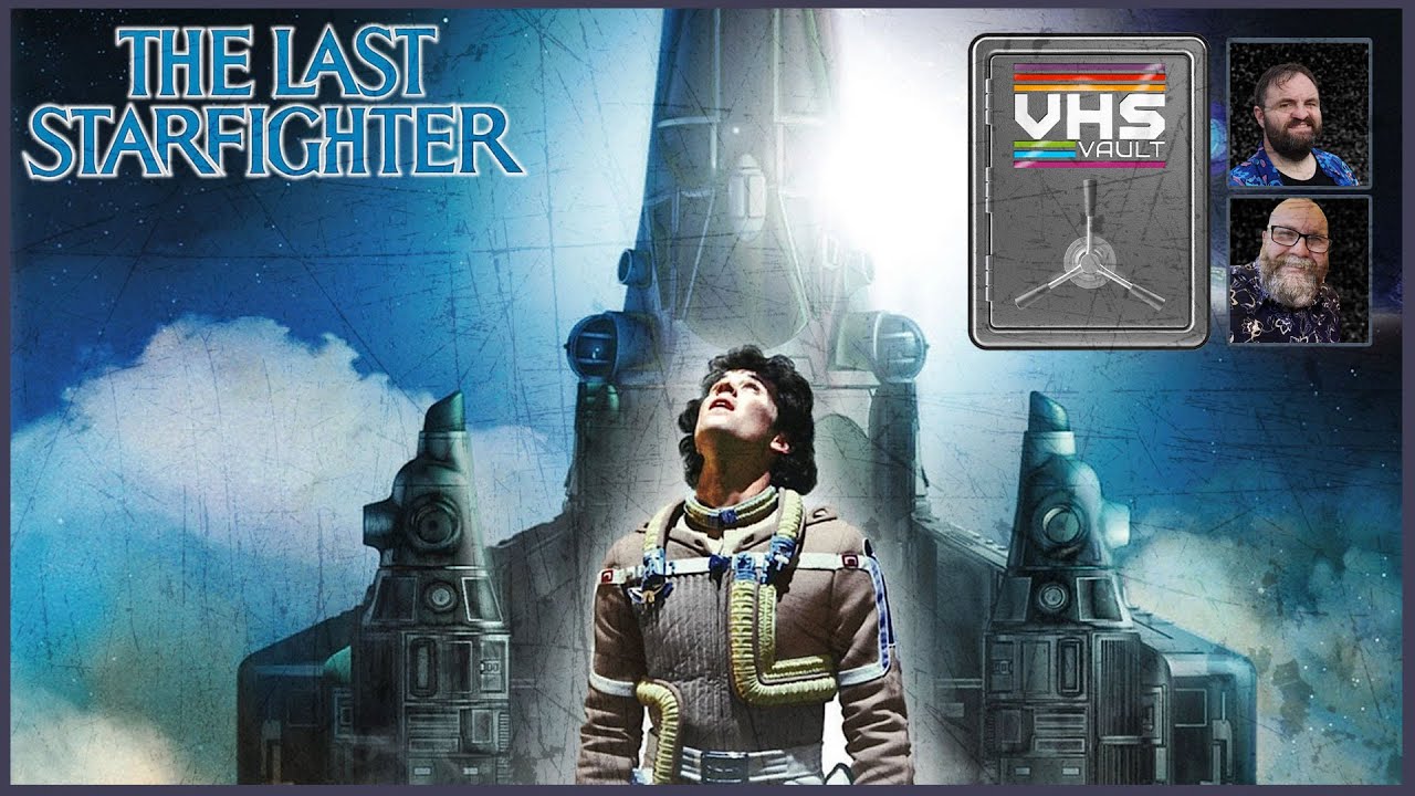 Continue reading "The VHS Vault – The Last Starfighter"
 Continue reading "The Power of Jay-Skull – Deep Character Dive | The Sorceress"
 Continue reading "Breaking Wind: An Avatar the Last Airbender Podcast – “Aang”"
Continue reading "Tickets Now on Sale!"
Continue reading "Breaking Wind: An Avatar the Last Airbender Podcast – “Aang”"
Continue reading "Tickets Now on Sale!"
 Continue reading "Jason Watches Megamind vs. The Doom Syndicate"
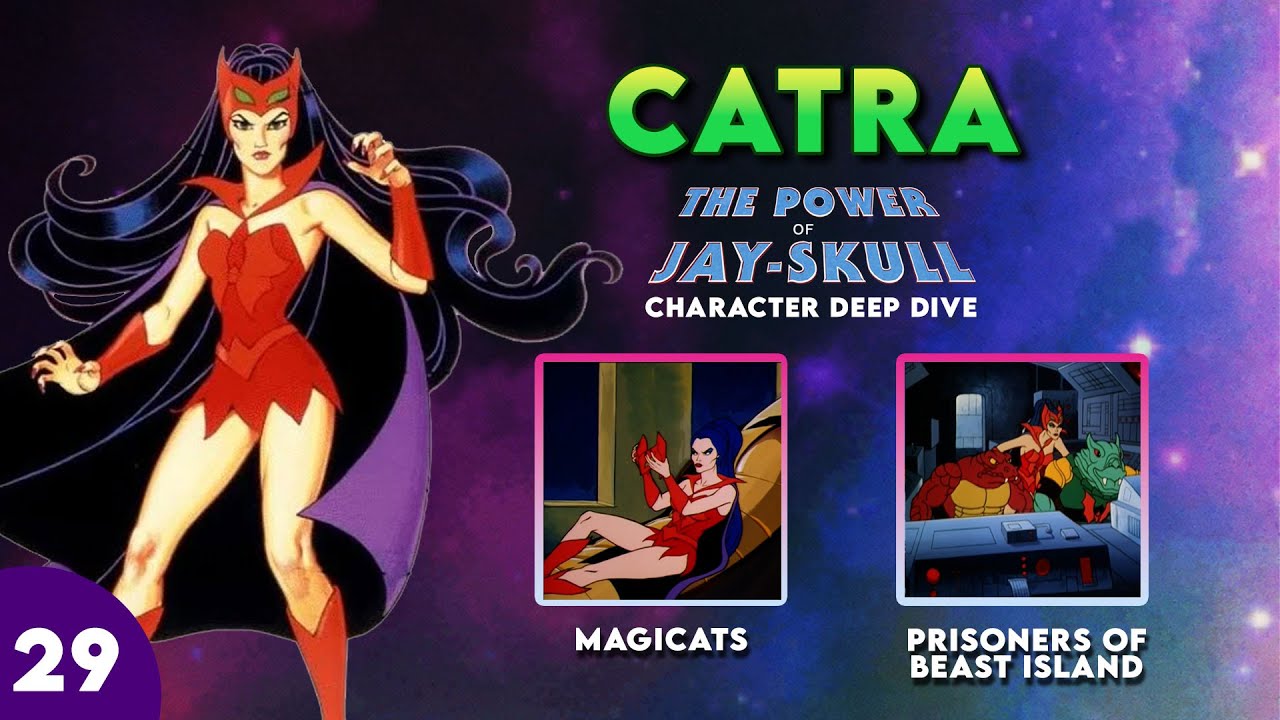 Continue reading "The Power Jay-Skull Character Spotlight: Catra"
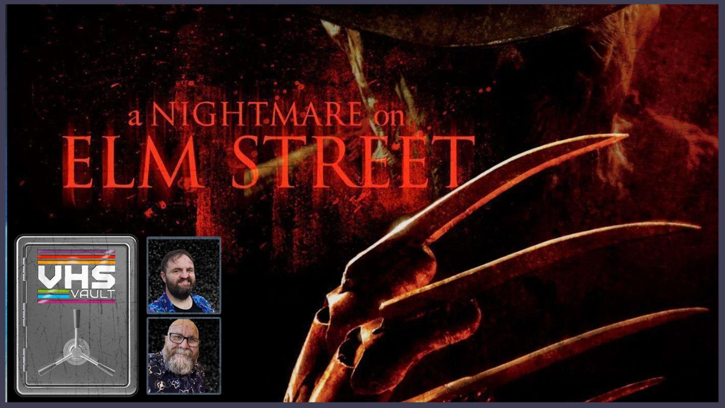 Continue reading "A Nightmare on Elm Street (2010) – The VHS Vault"
 Continue reading "Avatar: The Last Airbender (2024) – If You Don’t Agree, You’re Wrong!"
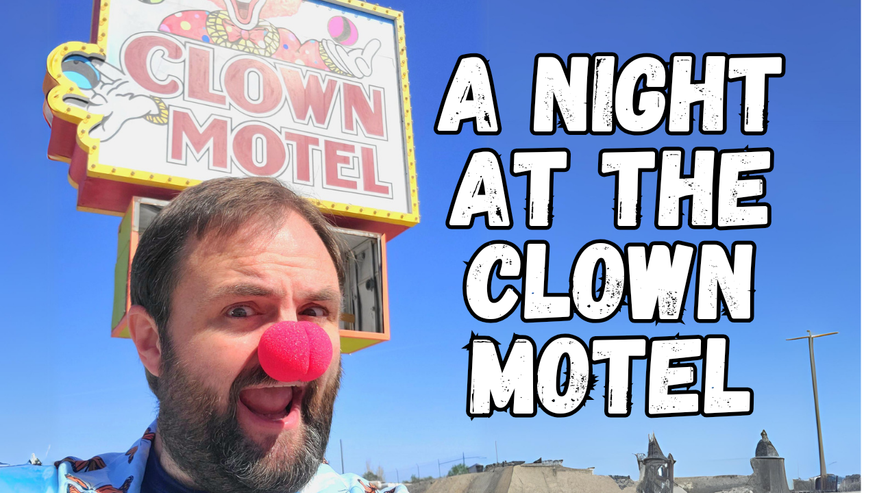 Continue reading "A Night at the Clown Motel"
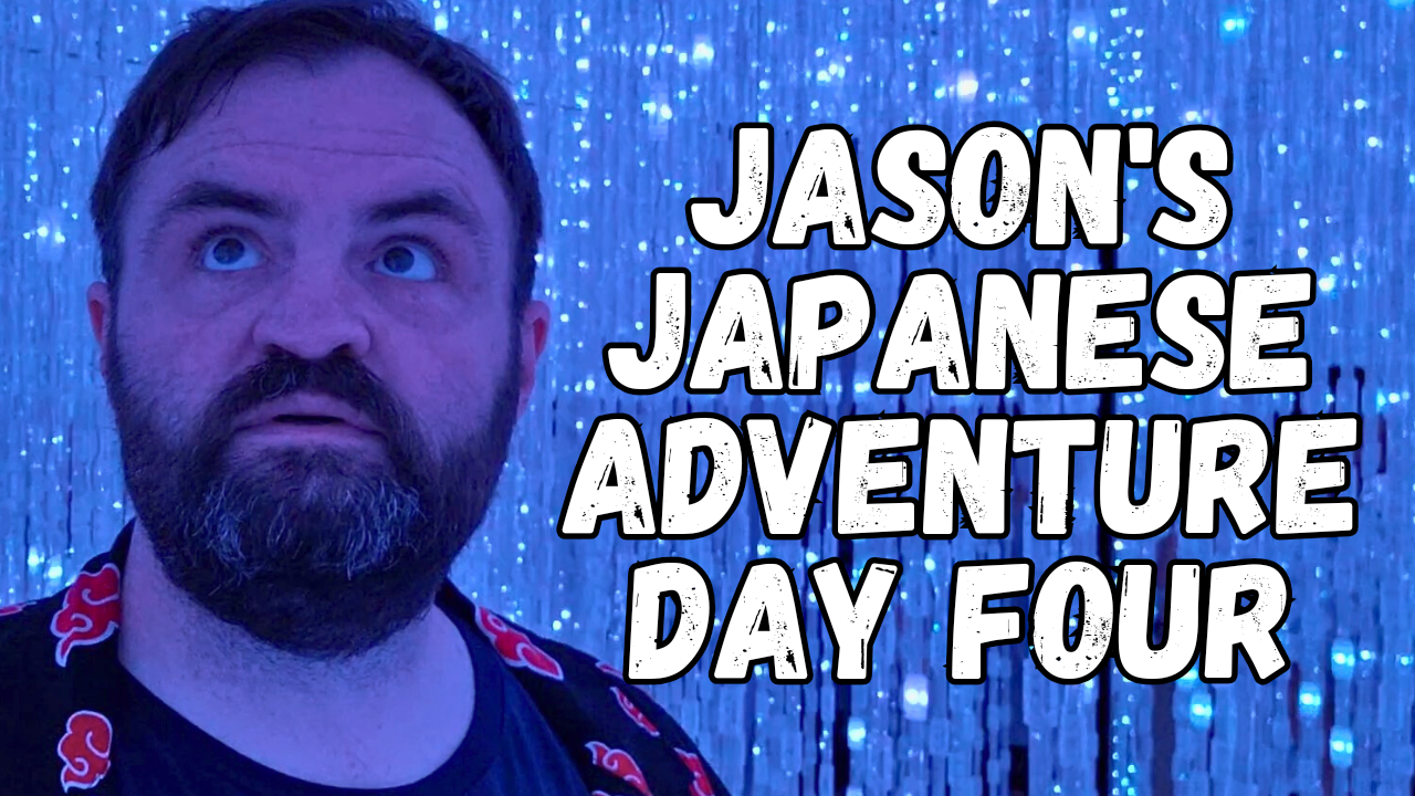 Continue reading "Jason’s Japanese Adventure: Day Four – Odaiba & TeamLabs Planets"
 Continue reading "The Power of Jay-Skull: Character Spotlight – Beast Man"
 Continue reading "Jason Watches Madame Web"
 Continue reading "Tammy and the T-Rex – The VHS Vault"
 Continue reading "Q: The Winged Serpent"
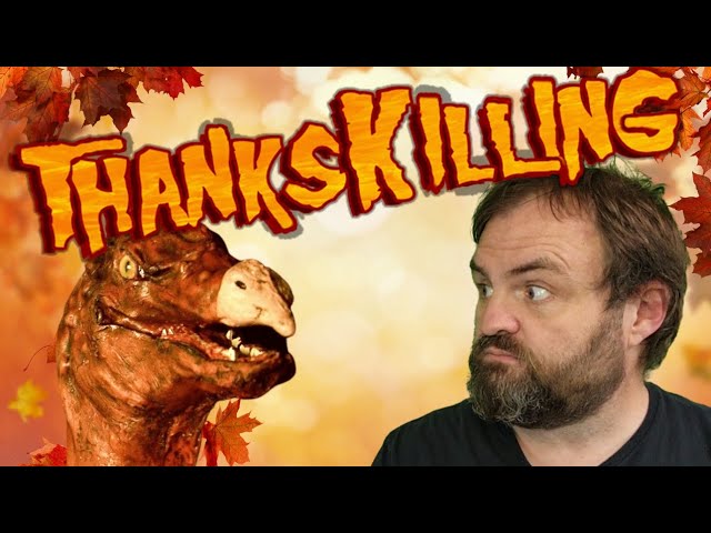 Continue reading "Thankskilling (2009)"
 Continue reading "The Power of Jay-Skull: Character Spotlight – Glimmer"
 Continue reading "Friday the 13th (2009) – The VHS Vault"
 Continue reading "Mr. and Mrs. Smith – If You Don’t Agree, Your Wrong"
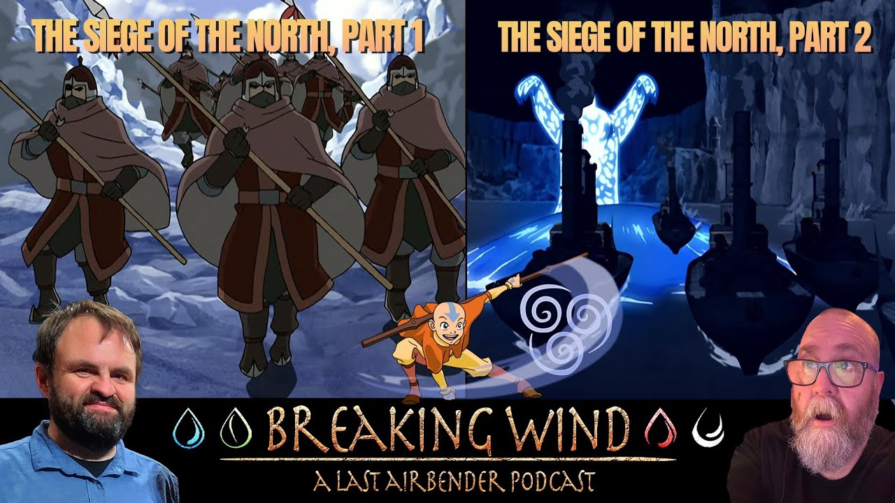 Continue reading "Breaking Wind: “The Siege of the North, Part One and Two”"
 Continue reading "Jason Watches The Marvels (2023)"
 Continue reading "If You Don’t Agree, You’re Wrong! Episode 10"
 Continue reading "Jason Finally Watches The Fast and the Furious"
 Continue reading "Switcheroo: Mario Kart 8"
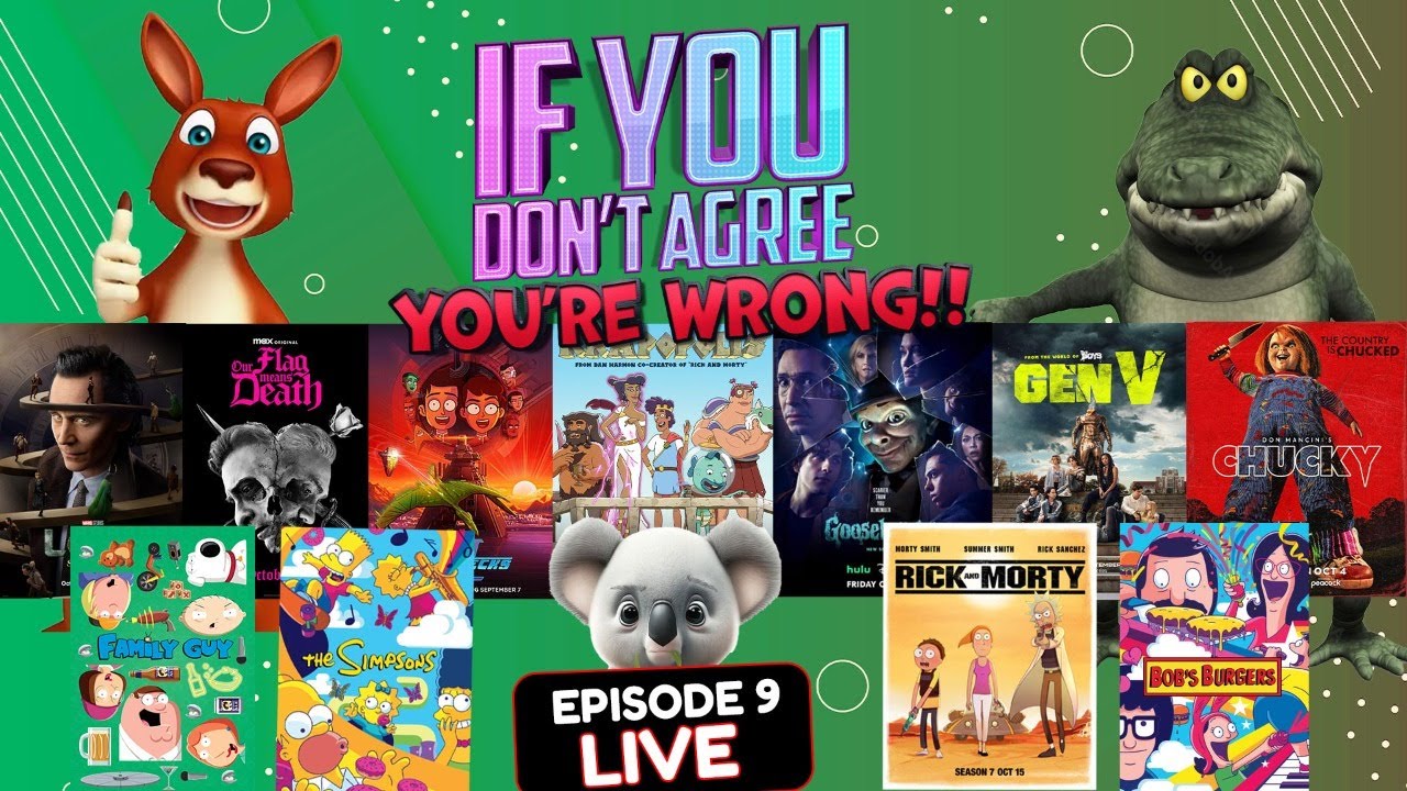 Continue reading "If You Don’t Agree, You’re Wrong! Episode 9"
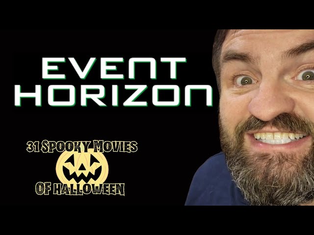 Continue reading "Event Horizon – 31 Spooky Movies of Halloween"
 Continue reading "Oculus – 31 Spooky Movies of Halloween"
 Continue reading "Stung – 31 Spooky Movies of Halloween"
 Continue reading "Saturday the 14th – 31 Spooky Movies of Halloween"
 Continue reading "Five Nights at Freddy’s"
 Continue reading "Return of the Living Dead, Part II – 31 Spooky Movies of Halloween"
 Continue reading "If You Don’t Agree, You’re Wrong! Episode 8"
 Continue reading "C.H.U.D. – 31 Spooky Movies of Halloween"
 Continue reading "El Dia de la Bestia – 31 Spooky Movies of Halloween"
 Continue reading "Grave Encounters 2 – 31 Spooky Movies of Halloween"
 Continue reading "2022 Compilation – 31 Spooky Movies of Halloween"
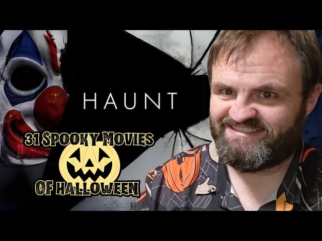 Continue reading "Haunt – 31 Spooky Movies of Halloween"
 Continue reading "If You Don’t Agree, You’re Wrong!!! Episode 7"
 Continue reading "Altitude (2010) – 31 Spooky Movies of Halloween"
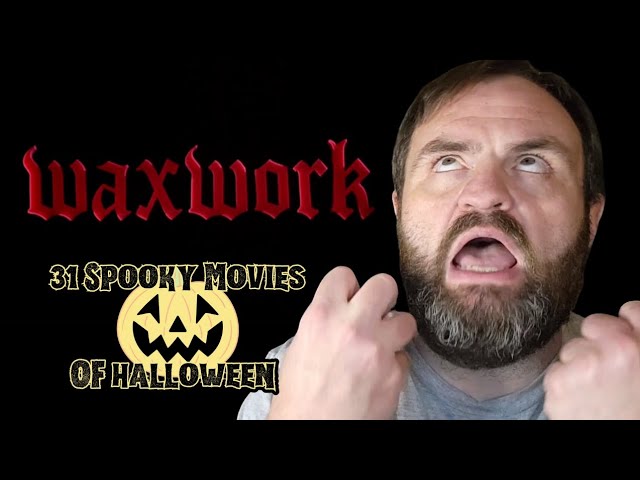 Continue reading "Waxwork (1988) – 31 Spooky Movies of Halloween"
 Continue reading "Night of the Demons (1988) – 31 Spooky Movies of Halloween"
 Continue reading "House II: The Second Story (1987) – 31 Spooky Movies of Halloween"
